Edzell - Rocks of Solitude
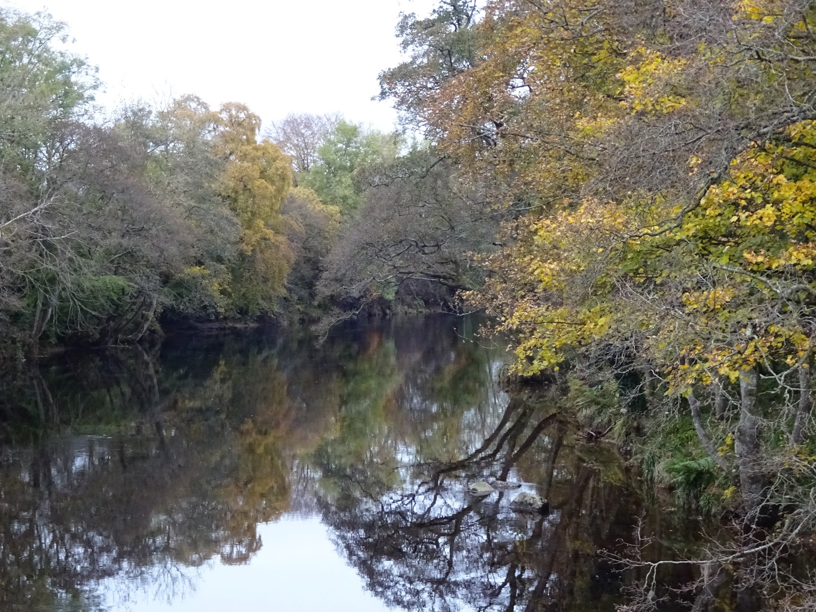
It was a fine autumn day as 6 of us - plus Ruby, Dave's puppy - drove over to Edzell for a riverside walk up the banks of the North Esk.
After parking the cars, we took a short stroll up Edzell High St., checking out the potential coffee stops after our walk, then turned down the lane next to the garage which took us down to the river. The North Esk is wide and still at this point, but it was to change fairly dramatically as we headed upriver:
The trail, which is mostly well above the river, is good and clear, but there had been a small landslip recently and there was a short fenced-off part - which we ignored, pushing aside the council's large steel fences.
The trail soon took us up to the main road where we crossed the Gannochy bridge, taking time for a few snaps of the river:
To resume the walk we had to go through the famous blue door which leads in to the grounds of the 18th century Burn House (https://theburn.co.uk/), now an academic retreat and conference centre.
We all enjoyed scuffing our way through the autumn leaves, strewn all along the trail. It's a very pretty walk but we certainly didn't expect to meet a man walking his dog with a parrot sitting on his shoulder:
The wide river had turned in to a raging torrent as it fell through the gorge and there were even a couple of waterfalls:
The Rocks of Solitude marks the point where we turn back and walk downstream. The "official" recommended route is down the Glen Esk road back to the Gannochy bridge, but we only trod the tarmac for a short period before re-entering the vast grounds of the Burn House and a pleasant grassy walk back to the Gannochy bridge.
The directions from here took us back to Edzell on the opposite side of the river from the one we had gone up and most of it is good quality woodland walks, but as we neared the suspension bridge to take us back to the town, the trail narrowed substantially and a fair bit of scrambling was required. This was what we were looking for:
It's a lot narrower from this angle:
Ken's chosen cafe (Sinclairs Larder) was closed by the time we got back so we had to revert to the Tuck Inn, which proved to be excellent.
All that was left now was the team photo:
Unfortunately, my phone ran out of battery power half way round so my Strava stats are not complete, but we know the walk is 10.5 kms with very little elevation change. Here's the route map:
There was a little bit of a scurry home as Jeb hoped to catch the 17:52 bus back from Banchory to Culter. We got there pretty much bang on time but it was obvious the bus had been early and had gone, so Bill drove us over to Tesco and we dropped Jeb off there. We spotted the 201 on our way back so Jeb wasn't going to have to wait too long at the bus stop.